Exploration Technologies, Inc.
Exploration Services
Exploration Services
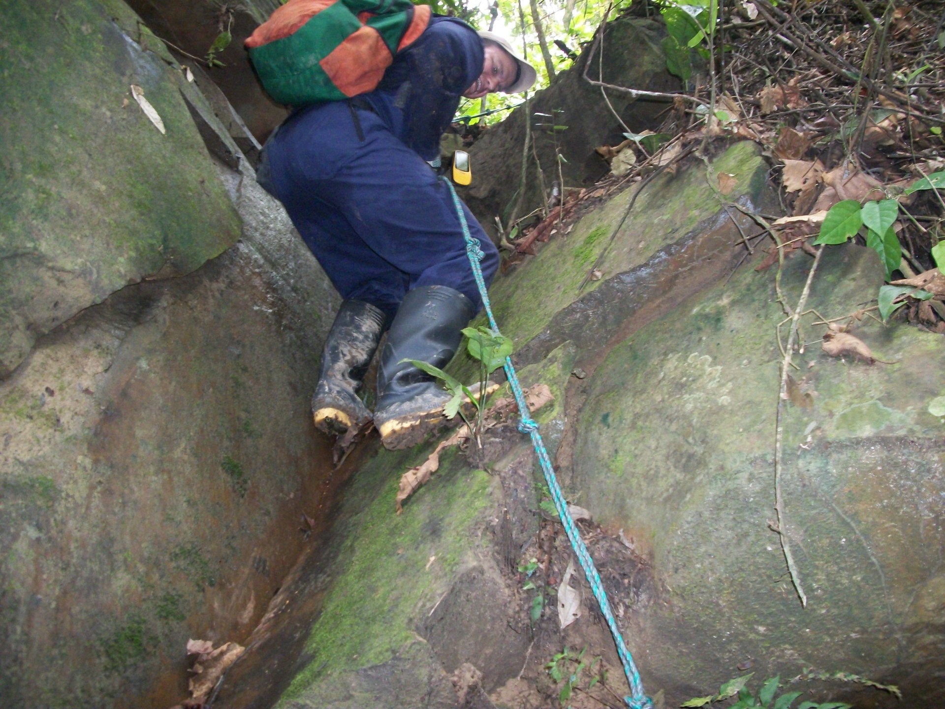
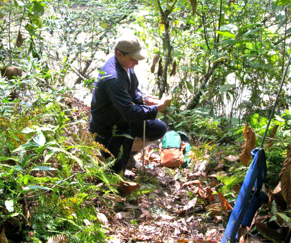
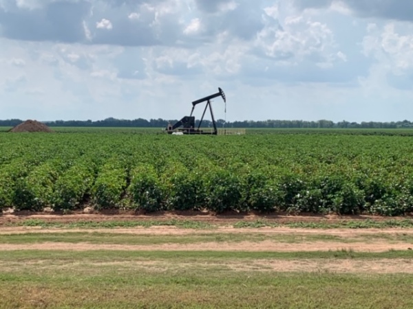
The Exploration Technologies, Inc. (ETI) staff of geoscientists has extensive experience in the research, development, execution and interpretation of various geochemical techniques utilized in environmental studies, petroleum and minerals exploration. ETI possesses a wide range of capabilities to perform all phases of environmental site assessments involving natural and refined petroleum product surface and subsurface contamination. Surface geochemical surveys are utilized by ETI to delineate the horizontal extent of subsurface contamination in soils and/or groundwater. The vertical extent of contamination is subsequently determined using ETI's real-time on-site screening laboratories during borehole drilling operations, thus allowing for a three-dimensional interpretation of the contamination present. These techniques, used in tandem, can provide a very cost-effective accurate evaluation of the subject property while reducing the risk of errors and omissions during the assessment phase. From the fully equipped and experienced crews to the highly qualified laboratory personnel, ETI is dedicated to making the best possible interpretation on which clients can base their environmental decision.
Learn More
ETI has been conducting Exploration Surveys all over the world and we have many examples.
Learn More
Published Papers
Exploration Geochemistry
Petroleum exploration surface geochemical surveys can be used to map the light hydrocarbons expressed through microseeps from active petroleum and natural gas reservoirs at depth. The maps, developed from the survey, serve as a guide to identifying prospective areas in both frontier and mature basins. The light hydrocarbons, when surveyed, analyzed and mapped, using ETI's proven techniques and technology, produce a graphic, geochemical picture of the source rock below. Petroleum exploration using surface geochemistry can show whether or not a given area contains petroleum source rocks; whether the area is more oil or gas prone; and finally, whether or not the gas is over cooked and non-productive, or the oil too heavy to produce by drilling alone.
Such studies can greatly reduce the area to be searched; helping to focus more expensive exploration techniques, such as 3D geophysical surveys, on those portions of the basin most likely to contain petroleum accumulations and potential reservoirs.
Basin-wide surveys have demonstrated that microseepage occurs throughout the entire basin, not just over economic fields. The majority of the microseepage anomalies are driven by basin-wide fluid expulsion related to deep basin source rocks. The survey data, collected at the sub-surface, outlines the field boundaries, defines the source rock variations and, the thermal maturity of the reservoirs. Seepage magnitude data is used to map areas of active fluid and gas migration from sub-surface source rocks (and sometime reservoirs), thereby identifying trends or fairways where reservoirs are more likely to occur.
Composition of the light gases is much more important than magnitude. The relationships, of the C1 - C4 gases, tell the story of the source rock below. The relationships (ratios) of C1-C2, C1-C3, and C1-C4 indicate whether an area is more oil or gas prone. These ratios also indicate thermal maturity. Magnitudes are controlled by the permeability of migration pathways, and subsurface pressure. Obviously, major fault tectonics can affect migration pathways, and strongly influence seepage magnitude.
Only the combination of composition and magnitude data, graphically depicted, can provide a picture of the oil vs. gas nature of the area, as well as the area boundaries.More importantly, magnitude is not a predictor of the "economic success" of a field. There is no relationship between magnitude of the seeps and the "economics" of the deposits. Magnitudes are controlled by the permeability of the pathways; economics are controlled by the value of money at the time. Sub-surface geochemistry can be a highly effective tool to reduce exploration cost and risk. Historically, sub-surface geochemistry has developed a skeptical audience. The problem with surface geochemistry does not lie with the technology. The fault lies with the widely held concept of vertical migration, and the insistence that seepage magnitudes are directly related to "economics".
Surface geochemistry is only one of many useful tools in the quest for exploration success. Surface geochemistry can provide a low cost view of the oil vs. gas potential of a concession, frontier or mature basin. Coupled with more expensive geophysical tools, such as 2D and 3D seismic, surface geochemistry can provide impressive amounts of highly valuable information regarding the oil vs. gas potential of the basin. ETI's sub-surface geochemistry is a tool, that, when used properly, can significantly reduce exploration risk and cost.
Purpose:
a. To map the presence and distribution of oil and gas seepage to identify areas with a high potential for petroleum reservoirs.
b. Reduce the area to be searched by helping to focus exploration efforts on regions and structures with active seepage.
c. Predict the oil versus gas potential of prospective structures.
Applications:
a. Regional Exploration Programs to define portions of basin of concession areas with the highest potential for production. Regional studies are often run in conjunction with regional seismic programs and may include grids or other evenly spaced tests.
b. Trend Evaluation Studies can be used to evaluate the potential of regional features and plays. Sample spacing is designed to sample a prospective play without concentrating on individual structures or prospects.
c. Prospect Evaluation studies can be used to rate the relative seepage magnitudes and compositions of individual prospects prior to drilling so that structures with the highest potential are given a higher priority. Close spaced sample grids in conjunction with high resolution geophysical studies are most effective for multiple prospects.
d. Anomaly Detailing including very closely spaced samples and stratigraphic/geochemical drilling programs can be used to detail oil source and maturity of individual high magnitude seeps over specific prospects of interest.


Read Some of our Related Publications
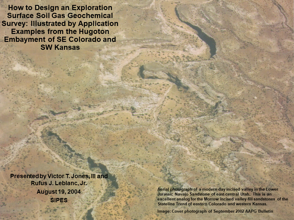

How to Design an Exploration Surface Soil Gas Geochemical Survey: Illustrated by Application Examples from the Hugoton Embayment of Southeast Colorado and Southwest Kansas (pdf)
AAPG Annual Convention, April 18-21, 2004
Dallas, Texas
Dallas, Texas
Rufus J. LeBlanc, Jr., and Victor T. Jones, III
Exploration Technologies, Inc.
Exploration Technologies, Inc.
Elsevier - Light Hydrocarbons For Petroleum And
Gas Prospecting
Gas Prospecting
V.T. Jones III, M.D. Matthews and D.M. Richers
LIGHT HYDROCARBONS FOR PETROLEUM AND GAS PROSPECTING
V.T. Jones III, M.D. Matthews and D.M. Richers
Geochemical Remote Sensing of the Subsurface. Edited by M.Hale
Handbook of Exploration Geochemistry, Vol. 7 (G.J.S. Govett, Editor)
©1999 Elsevier Science B.V. All rights reserved
V.T. Jones III, M.D. Matthews and D.M. Richers
Geochemical Remote Sensing of the Subsurface. Edited by M.Hale
Handbook of Exploration Geochemistry, Vol. 7 (G.J.S. Govett, Editor)
©1999 Elsevier Science B.V. All rights reserved
Surface Geochemical Evaluation
Using Soil Free Gas Technology
A Powerful Tool for Oil Exploration
Using Soil Free Gas Technology
A Powerful Tool for Oil Exploration
Fall Edition 1982
Victor T. Jones, III
Download
Download
Download
About Us
A Leader in Geochemistry
Exploration Technologies, Inc. (ETI) provides innovative geochemical services. ETI's geochemical techniques are employed in the petroleum industry to reduce exploration risk and for accurate and cost-effective site characterizations. oil and gas exploration
High-Grade a Prospect
Use soil gas surveys to place seismic lines, and reduce the cost of your seismic surveys. oil and gas exploration
Save Money on Seismic
Use soil gas surveys to place seismic lines, and reduce the cost of your seismic surveys.
CONTACT INFO
Address:
Exploration Technologies, Inc.
7755 Synott Rd.
Houston, Texas, 77083
Houston, Texas, 77083

Telephone:
(281) 530-4300
Fax:
(281) 530-4308